Image © SOM
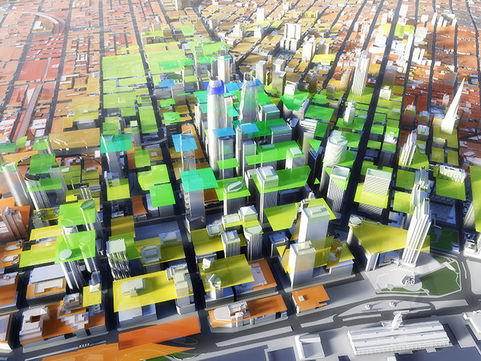
Created by SOM, beginning in 2006, the San Francisco Digital Context Model represents the intersection of modern digital cartography and three-dimensional modeling of architectural and urban form. The model begins with the same type of two dimensional GIS data that is the underpinning of mapping services like Google Maps, but through a carefully designed and controlled process, turns it into a consistent and easy-to-edit three dimensional representation of the city’s built form.